As part of the firm’s services, AEC offer a high quality Topographical survey services in the areas of:-
Road Design
Road Constructions Works
Real Estate Development
Irrigation Development
Water Resources Development
Services Rendered
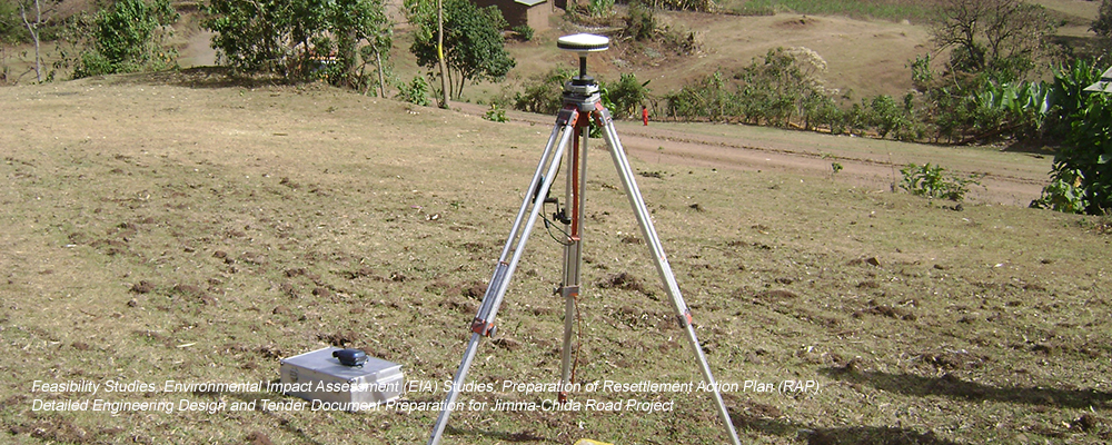
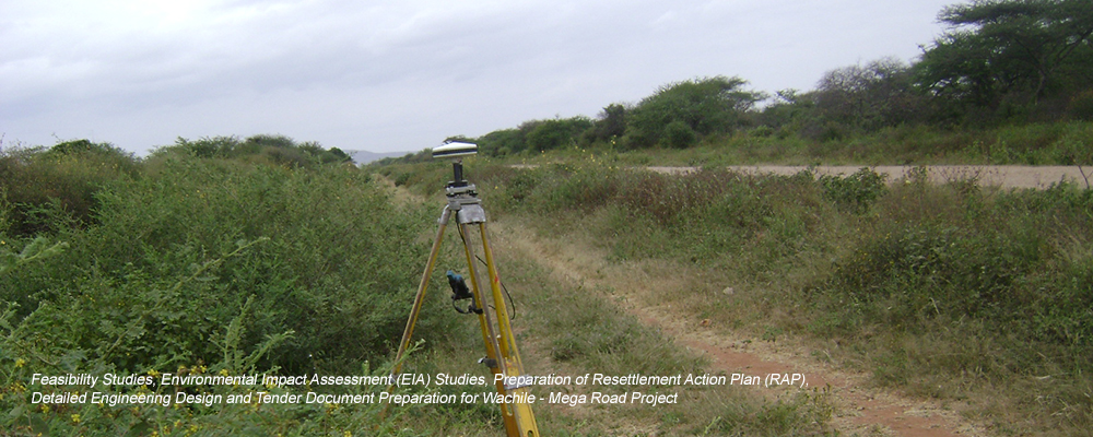
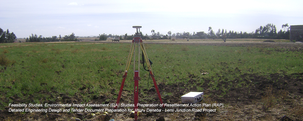
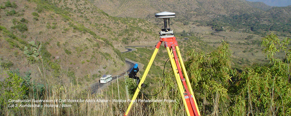
GPS Control Point
Monument production and physical establishment
New set of GPS control point establishment
Identification of existing survey beacons and checking/ ascertainment of coordinate values
Densifying exiting networks and re-establishment of missing control points
Tying of control points to National Grid System
Data Reduction and transformation
Detailed GPS data monograph preparation
Inspection during Defects Liability Period, Issuance of Maintenance Certificates and Final Account
Differential Leveling
Physical establishment of monuments (or benchmarks)
Conducting differential leveling works using double traverse (or double run) method
Data reduction and computation of final levels (elevations)
Tying of benchmark levels to National Elevation Datum System
Traverse Survey
Performing horizontal traverse runs in between established GPS points
Data reduction and computation of final coordinate values for Total Station set up positions
Detailed Topographical Data Collection & DTM Preparation
Roadway cross-section detailed data collection utilizing field codes and string techniques
Profile surveys
Drainage channels and bridge area surveys
Preparation of digital terrain models (DTMs) and generation of contours etc.
Land Acquisition Survey
Detailed data collection (houses, fences, gates, utilities, crop boundaries etc.)
Preparation of plans showing the intersection lines between the right of way and existing plot boundaries
Preparation of detailed listing of affected properties